B-Sure Benefiting from Space for Urban Resilience Excellence

Project’s Partners
- AnsuR (Norway)
- Johanniter (Germany)
- iGeotec (Ireland)
- DroneSAR (Ireland)
- UNITAR (Geneva)
Background
Based on a current platform called ASIGN, listed as one of United Nations Information Management tools for disasters, and in use by Oslo Police for security, B-SURE will develop user-driven functional capabilities and technical solutions for providing commercial services for target markets.
The B-SURE project is supported by the UN, who will be acting as a developing partner, reference user and possible future client.
B-Sure Logo
What is B-Sure
B-SURE is about creating urban resilience by providing novel situational awareness capabilities for faster and better response in in critical situations related to disaster management and security.
By fusing information from space spaced EO observations, Unmanned vehicles (drones) and geospatial images from the ground communicated from smartphones, via satellite communications if needed, B-SURE creates a portal providing unique common operational picture for United Nations and other professional disaster management organizations.
Objective
to reduce disaster management response time
B-SURE Services
The main B-SURE service is rapid collection and bandwidth efficient secure communication of operationally relevant field information. The baseline field platform is a smartphone, while information managers access data and interact with the field users via Web browsers online on secure servers. The field users cover professionals, civil population and small UAV operators.
The B-SURE service forms a unique basis for a rapidly updated visual situational awareness service with photos and video and associated data sources. While user needs are clearly present, a large commercial market can be challenging to acquire. Therefore, suitably flexible service and delivery models will be developed, supporting both partner and direct sales.
B-SURE will provide an innovative solution based of photos/images and video collected from the field to:
- Improve visual situational awareness (e.g. damage and needs assessment after an Earthquake), via better collection and communication of relevant photos and video content from the field (i.e. non-essential data need not be sent).
- Improve the relevance and effect of collected data, as the bandwidth savings also saves time to transfer data, making it much more efficient to interact with the field observers or drone pilots while data capture is done.
- Improve training of professional in the field (this includes pilots of UAVs) about how to best acquire useful photo/videos in the field. This is usually done prior to a crisis
- Support remote pilots of UAVs to be more effective to collect useful photos and videos. This is typically done real-time during the critical operations
- Embed the useful data from Videos/Photos and Earth Observation in overlaying pictures/maps generated as well with the support of EO data
- Finally, provide access to the visual situational awareness tool via a web-based service accessible to users via smartphones and PCs connected to Internet.
HOW does B-Sure work
Merging experience and expertise both from software developers and professional disaster managers, B-SURE utilizes a concept using interactive communication, where a smaller image or video storyboard is sent initially, allowing the receive side to pull the required details in full precision. The savings imply 1% of the cost and 100 times increase in speed. This capability is a unique core element for the B-SURE geo-spatial visual situational awareness that is combined with rapid mapping from latest satellite EO data. We apply Computer Vision and Machine Learning to complement and assist the analysts and decision makers.
The project has also developed mission critical video conferencing that can support users joining from the field with low bandwidth, even using mobile satellite communications. the video conferences combined with live drone video feeds, photo communications and live mapping.
B-SURE product videos : link
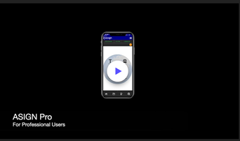
ASIGN
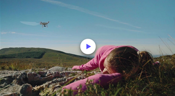
DroneSAR
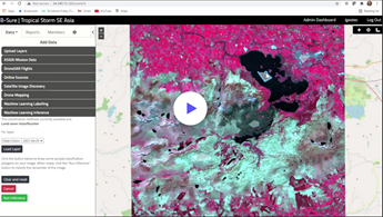
iGEOTEC
For more detailed information please visit the following websites:
Project’s webpage: link